India Atlas in 3D
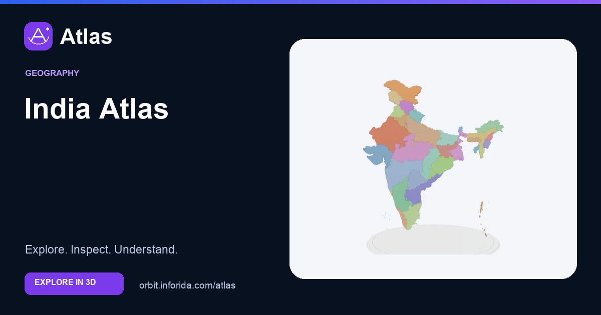
Explore states and union territories on a dimensional map. Explore the 3D model, inspect its parts and learn with guided explanations. Free on Atlas.
What you can learn
Connect states and union territories to location and neighbouring regions.
Rotate to compare northern, peninsular, coastal and island regions.
Administrative divisions serve governance; mountain ranges and drainage systems can cross them.
Use the claimed national outline separately from the administrative polygons and read the boundary context.
Try an investigation
Locate a state by name and colour, compare its neighbours, then switch to physical mode. Trace a mapped river through the schematic landform regions and explain why political boundaries and landform boundaries differ.
Check your understanding
Which sea lies west of peninsular India?
Arabian Sea. The Arabian Sea lies to the west; the Bay of Bengal lies to the east.
Which Indian state lies at the southern tip of the mainland?
Tamil Nadu. The southernmost tip of mainland India is at Kanyakumari in Tamil Nadu.
Which of these is an island union territory?
Lakshadweep. Lakshadweep is an island union territory in the Arabian Sea.
Sources and model scope
Political extent follows India’s claim, including disputed northern areas. Natural Earth geometry is generalised and is not an official Survey of India map. Physical regions are schematic teaching overlays, not elevation measurements; river widths are enlarged.