World Atlas in 3D
Explore countries, capital cities, rivers and lakes. Use coordinate guides to find your place on Earth. Explore the 3D model, inspect its parts and learn with guided explanations. Free on Atlas.
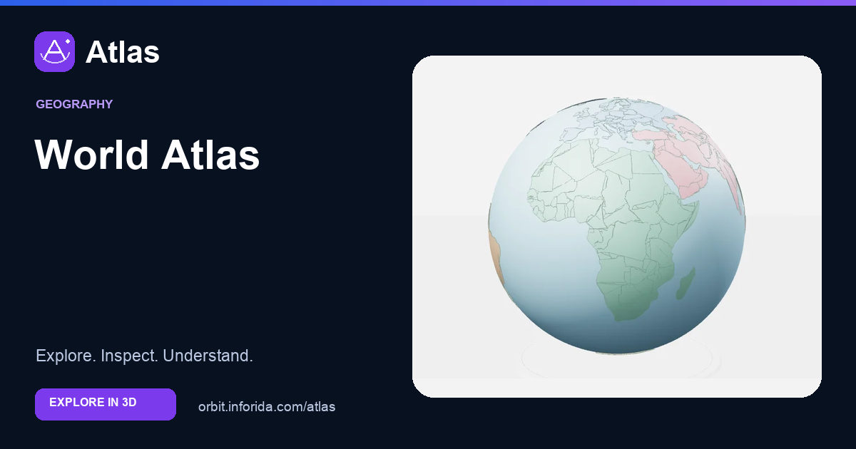
What you can learn
Compare administrative areas with physical and reference features.
Political regions show boundaries and names from a particular source dataset.
Rivers and lakes describe water systems that can cross political boundaries.
Latitude and longitude locate places on a globe; a flat screen can hide the far side or distort perceived distances.
Try an investigation
Find a country, its capital marker and a nearby river. Explain why a river basin and a country are unlikely to have the same boundary.
Check your understanding
India lies in which continent?
Asia. India is in South Asia. Locate it north of the Indian Ocean, then compare its position with countries on other continents.
What does the equator divide Earth into?
Northern and Southern hemispheres. The equator is the line at 0 degrees latitude.
Why can the shapes on a flat world map look different from a globe?
Flattening a curved surface introduces distortion. Map projections trade off properties such as area, shape, distance and direction.
What does longitude describe?
Position east or west of a reference meridian. Longitude locates places east or west of the prime meridian; latitude describes north or south.
Which statement describes a capital marker on this globe?
It marks a city location, not the size of the city. Markers are enlarged so they can be selected. Their symbol size is not a measurement of urban area.
Where do all meridians meet?
At the geographic poles. Longitude meridians converge at the poles, while parallels of latitude form separate east-west circles.
Why is the 180° meridian not a complete map of the International Date Line?
The Date Line follows an irregular path shaped by political choices. The antimeridian is a geometric reference. Actual date boundaries deviate from it and are not drawn in this model.
Which comparison uses physical geography?
Tracing a river and the land around it. A river and its surrounding land are physical features. Country colours here group areas and are not temperature measurements.
Sources and model scope
Boundary datasets may be dated or contested. Ocean markers locate oceans; they do not supply bathymetry, currents or complete maritime boundaries.